
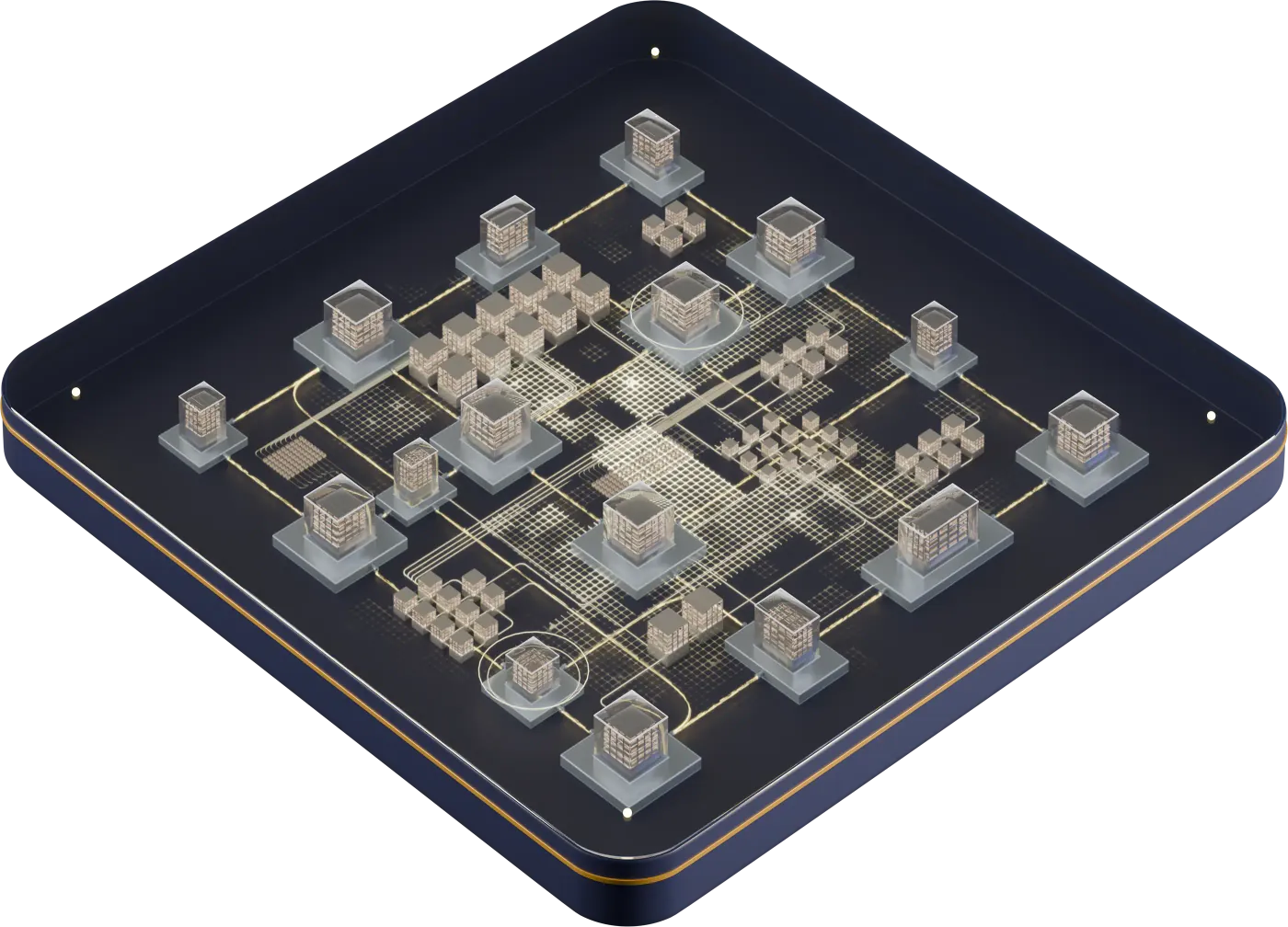
PIID building identity
A persistent identity for each qualifying structure, associated with your client and source identifiers.
Data & Enrichment
PIID™ gives each qualifying physical structure a persistent building identity. Your organization and participating partners can use that shared reference to recognize the same building across systems and connect supported data and records to the right structure.
Dataset coverage, available fields, and delivery options vary by location and selected sources.
Identity is the foundation
PIID gives each qualifying physical structure a persistent building identity. Connect supported address, parcel, and client references so your teams and partners can recognize the same building across their systems.
Structure identity
Primary building
PIID referenceOwn PIID™Accessory structure
PIID referenceOwn PIID™Parcel boundaryShared parcelEach qualifying structure keeps its own identity.
Structure
The physical asset
Building use · area definition · year built
Parcel
The land and its records
Parcel reference · land area · assessment
Surrounding geography
The location context
Nearby schools · county demographics
Building identity → connected information → your workflow
Your organization and its partners can retain their own records and workflows while using PIID to identify the same physical structure and connect its associated information.
A persistent identity for each qualifying structure, associated with your client and source identifiers.
Available counts of identified qualifying structures within a stated address or parcel scope.
Connect addresses and parcels to individual building identities. Several structures can share a location; each keeps its own PIID.
Identity resolution connects information to a structure. It does not independently certify every valuation, condition, or risk field.
Data catalog
Find building identity, property, history, financial, risk, and location information for your workflow. Review representative fields and source context; planned enrichment is labeled while sources and delivery are being confirmed.
Connect each qualifying building’s PIID to normalized addresses, parcels, and client or source identifiers. A shared structure reference helps participating partners recognize the same building while preserving distinct identities for structures at one site.
Representative fields
Addresses, parcel identifiers, land characteristics, and local classifications establish the property’s land context. Supported parcel relationships connect that context to the buildings identified through PIID.
Representative fields
Building dimensions, construction attributes, room counts, and supported roof information describe the physical asset. Structure identity keeps these characteristics associated with the right building rather than an undifferentiated parcel total.
Representative fields
Building outlines, area, coordinates, and spatial references locate an individual structure. Supported parcel relationships help mapping and record-matching workflows distinguish the building from its surrounding land.
Representative fields
View dated overhead, directional oblique, and available street-level imagery alongside structure identity, capture information, and source metadata.
Representative fields
Permit records document construction, improvements, and selected repairs with their jurisdictional references, dates, and status. Supported property or structure associations help teams identify which asset the recorded work concerns.
Representative fields
Identify contractors associated with documented construction, improvements, and repairs through available permit and service records.
Representative fields
Understand historical hail and wind observations through event dates, measurements, severity classifications, geographic association, sources, and confidence information.
Representative fields
Provider-supplied overall, violent-crime, and property-crime indicators add geographic risk context for location research. Available comparisons, trends, and model dates explain the area and period the information represents.
Representative fields
Recorded current and previous ownership, mailing details, and reported occupancy indicators add context to property research. Source dates and vesting information help distinguish legal-record history from an estimate of present occupancy.
Representative fields
Understand assigned and nearby schools through district information, grade spans, enrollment, distance, staffing, academic programs, and licensed school-quality information.
Representative fields
Population, household, income, employment, and housing measures describe the property’s surrounding community. Geographic scope and reporting periods keep these aggregate estimates distinct from facts about a specific building or its occupants.
Representative fields
Licensed accessibility scores and nearby destination references describe how a property connects to its surroundings. Provider attribution and distance methods explain the scope of each score or proximity measure.
Representative fields
Connect available ownership, construction, permit, financing, and weather records in a source-attributed history associated with the relevant property and structure identities.
Representative fields
Understand surrounding properties through their location, ownership, land use, building characteristics, and recorded sale information.
Representative fields
Connect recorded lender, loan, and lien details with source-supported financing estimates. Keep estimated balances and reported loan-to-value separate from recorded terms.
Representative fields
Follow property transfers through buyer and seller details, transaction dates, sale amounts, and recorded instruments. Preserve the distinction between recorded consideration and an estimated sale amount.
Representative fields
Review source-supported liens, foreclosure filings, sale notices, and related property-status indicators. Distinguish a filing or scheduled auction from a completed transfer.
Representative fields
Connect annual taxes, assessed land and improvement values, exemptions, and payment records to their tax authority and reporting year. Keep assessed values distinct from estimated market values.
Representative fields
Compare source-modeled market values and ranges with historical estimates and nearby sale evidence. Valuation confidence describes the value model, while identity confidence describes the structure match.
Representative fields
Connect listing status, asking and sold prices, marketing history, and permitted agent or broker information to the property. Compare surrounding inventory and trends within a stated geography and observation period.
Representative fields
Describe a building's foundation, heating and cooling, fireplaces, garage, parking, and reported service types. Keep building-specific details and unit counts separate from parcel-wide totals.
Representative fields
Identify source-reported flood zones and Special Flood Hazard Area status with map numbers, panels, community references, and map dates.
Representative fields
Understand association membership, recurring dues, management contacts, and available community documents associated with a property. Additional community details remain dependent on an authorized source.
Representative fields
Keep legal descriptions, parcel and tax identifiers, and census geography references connected with their issuing jurisdictions. These property and geography references remain distinct from a structure's PIID.
Representative fields
Planned enrichment
Identify electric utilities and water/sewer providers associated with a property's location and mapped service areas. This planned enrichment distinguishes a service-area match from a confirmed active connection.
Representative fields
Planned enrichment
Explore internet providers, connection technologies, and advertised service availability reported for a property's location. This planned enrichment labels speeds as advertised rather than measured performance.
Representative fields
Planned enrichment
Review location-based public registry information within a defined search area, with jurisdiction, source dates, and official verification references. This is planned enrichment pending source and delivery confirmation.
Representative fields
Available fields vary by property, source coverage, and selected data package.
Institutional workflows
Begin with the asset, the decision, and the information your team needs. Select a focused scope for the way you work.
Structure context, documented improvements, historical weather, and optional crime context for property review.
Property, ownership, financing, transaction, valuation, and location context for diligence and collateral review.
Persistent structure references and selected information for portfolio and facilities workflows.
Supported identifiers, coordinates, geometry, and enrichment for downstream platforms.
Enrichment services
Start with your existing references and select the information that supports your workflow. The engagement establishes the applicable fields, rights, and delivery approach.
Delivery options
Confirm the available output and integration requirements for your selected information. Delivery is scoped to the sources, fields, and permissions involved.
Report output
Organized supported identity, property, and intelligence sections. Demonstrated report output; coverage varies by property and selected module.
Scoped consultation
Discuss supported lookup, resolution, and selected-data integration requirements with the UMIP team.
Sample validation
Define a client-ID-to-PIID crosswalk and selected enrichment scope, validated against a representative sample.
Requirements discussion
Discuss authorized records that need a structure association. Ingestion and delivery requirements are a discovery topic until implemented and validated.
UMIP Structure Schedule™ remains in development. View product status
Coverage & sources
A useful record carries its context. Review the geographic coverage, observation date, source, and permitted use alongside each selected field.
Coverage varies by dataset, location, and source. Unavailable information is not a zero value. A missing permit or event does not prove that no work or event occurred.
Building, unit, parcel, and surrounding-geography records describe different scopes. Keep their relationships and measurement definitions alongside the information.
Distinguish capture, observation, effective, and reporting dates. A source date defines the context of the record; it does not establish a real-time update.
Recorded facts, reported attributes, provider estimates, and UMIP calculations have different origins. Retain the actual source, method, and date for modeled scores, roof-condition observations, and calculated metrics. Identity-match confidence does not certify another field's accuracy; an AVM estimates market value, while replacement cost is a separate measure.
Confirm field availability, export rights, retention, and required attribution for your selected sources and workflow.
Four fields. Four different meanings.
Source families may include public records, licensed property data, imagery and geospatial sources, weather observations, specialized location-risk providers, and authorized client records. Inspection, maintenance, warranty, and insurance-claim records remain within authorized customer-record connections unless a separate supplied dataset is confirmed. Sample report values describe the sample; they do not establish coverage or production availability.
Discuss your needs
Share your asset types, geography, required information, and preferred delivery approach. UMIP will help define a suitable data and enrichment scope.
Connect the right information to the physical asset your systems need to understand.